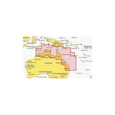
Navionics Plus Australia North East Marine Chart
Details
https://www.bcf.com.au/p/navionics-plus-australia-north-east-marine-chart/644136.htmlPromotions
Additional Information
Product Info
Product Info
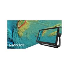
This Navionics Plus marine chart provides boat owners with the ultimate mapping solution for North East Australia. It offers users with premium chart displays through a range of sources, enhanced with SonarChart HD technology. Chart data is also consistently updated, with up to 5,000 daily updates to ensure maps are as accurate as possible. Other features include suggested dock-to-dock routing, live mapping as you navigate new water, and plotter sync functionality that links data from your chartplotter to the compatible boating app.
Compatible with a range of GPS chartplotters, each chart comes with a one year subscription to Navionics’ premium mapping data, followed by yearly renewal prices at a discounted price. Take your fishing and boating to the next level with this premium mapping option from Navionics. Designed to keep you safe, find more spots and catch more fish.
Features
- Navionics Plus marine chart for North East Australia
- Daily updates available
- Chart layers: Nautical charts, SonarCharts, community edits
- Dock to dock auto routing
- Live sonar chart
- Chart plotter sync functionality
- Advanced map options
- Sounder not included


