

Hema
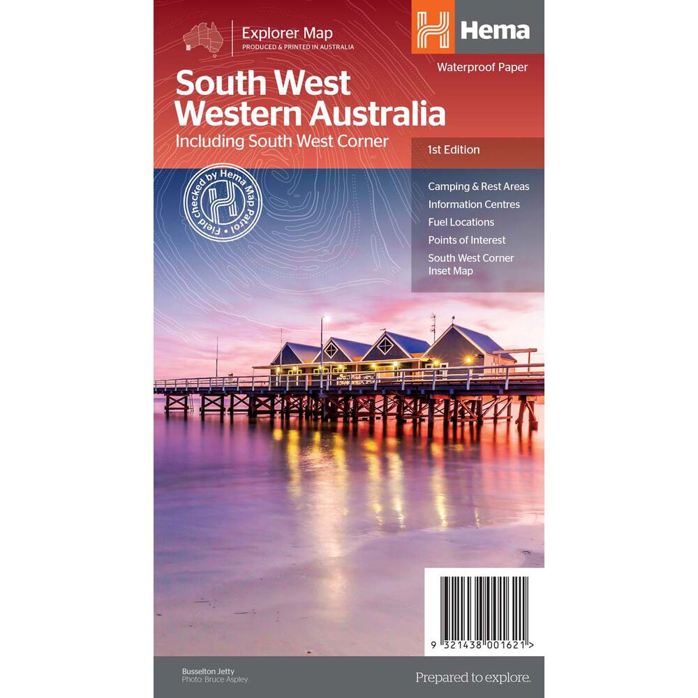
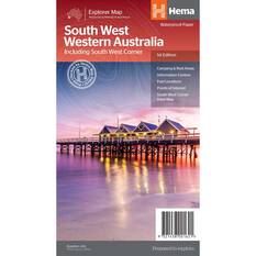
Hema South West Western Australia Map (1st Edition)
Details
https://www.bcf.com.au/p/hema-south-west-western-australia-map-1st-edition/601422.html
$15.99
Promotions
Special Offer


Additional Information
Product Info
Product Info
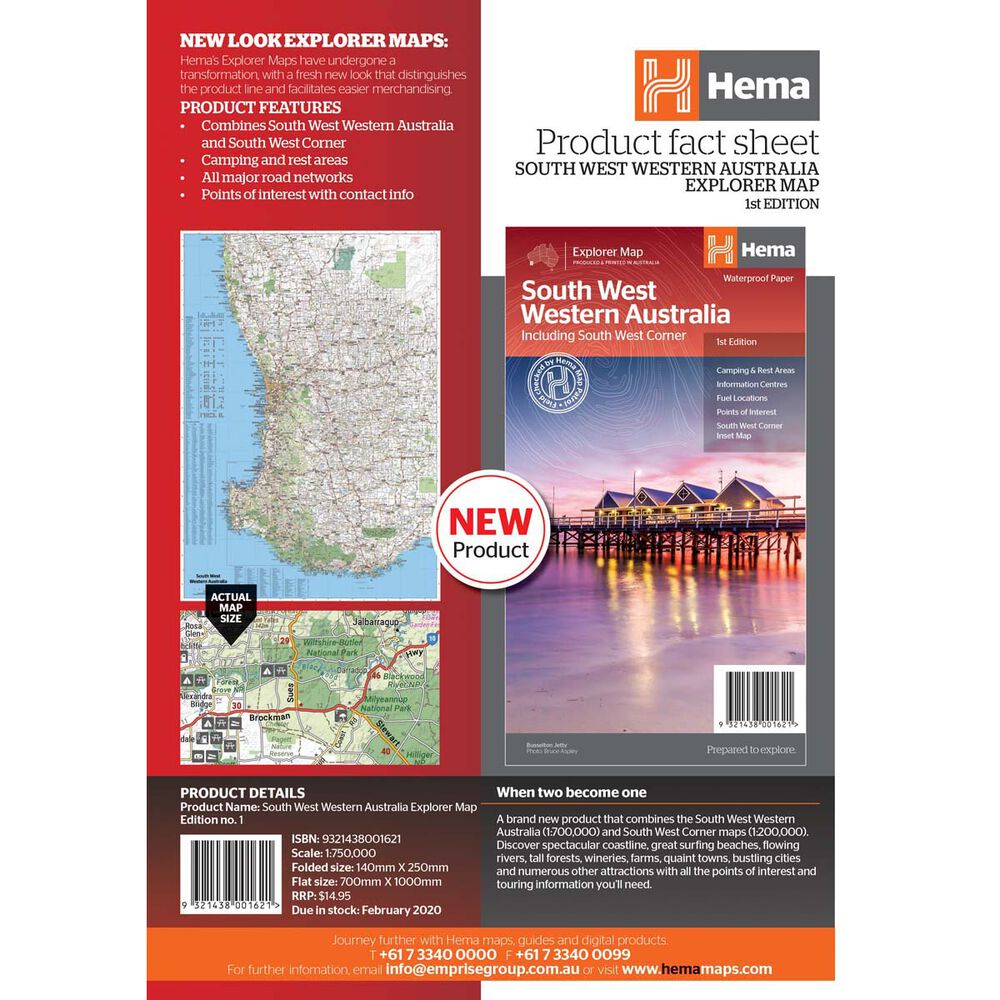
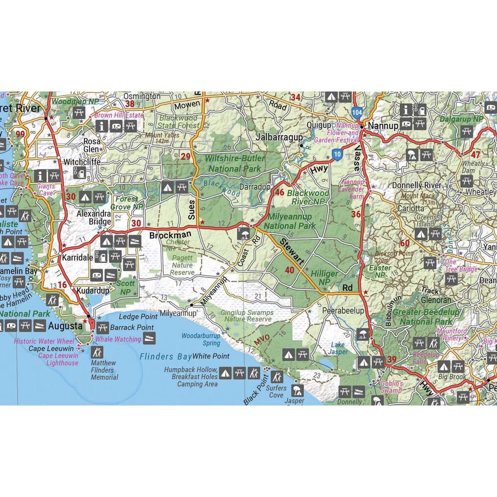
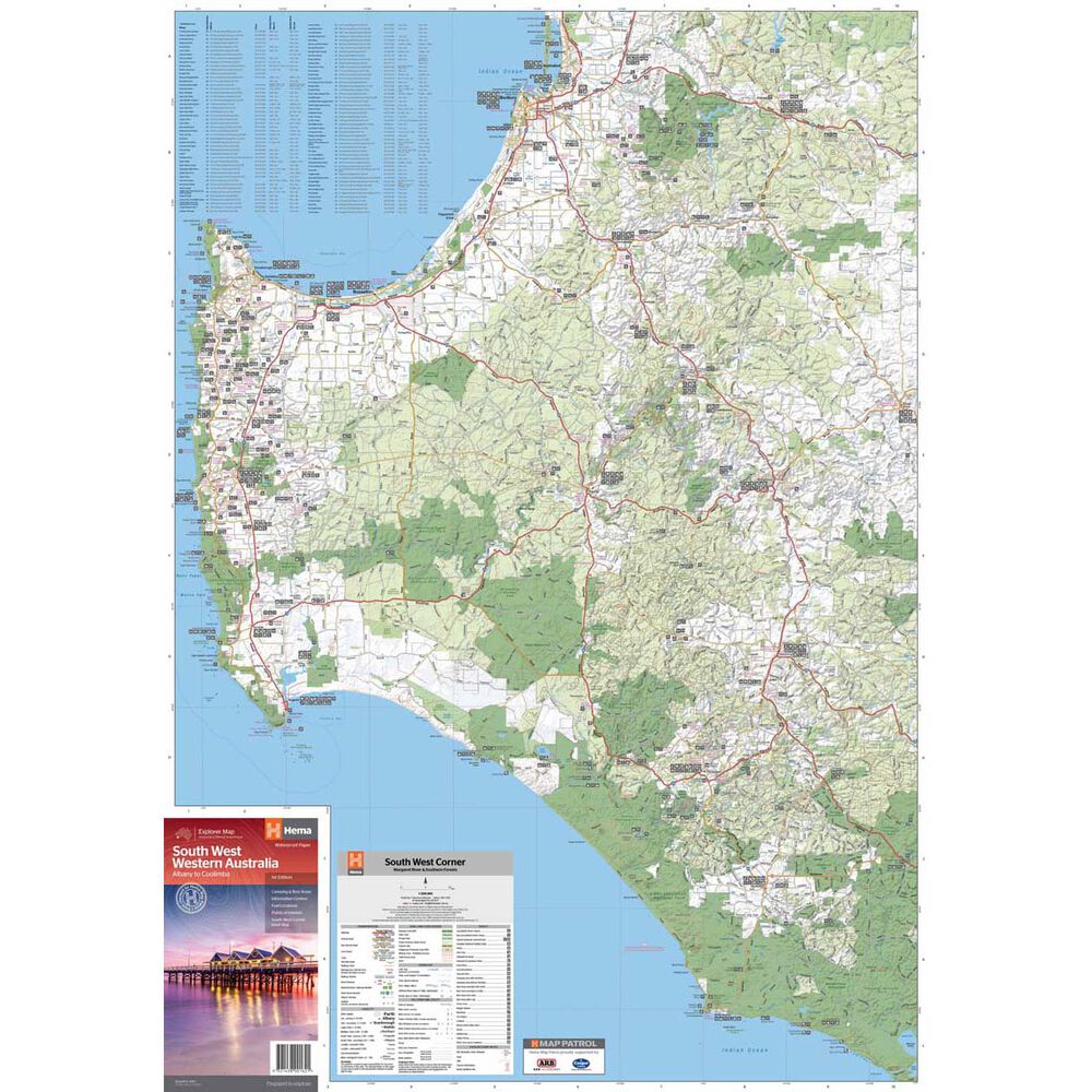
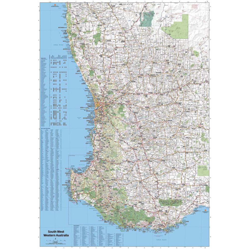
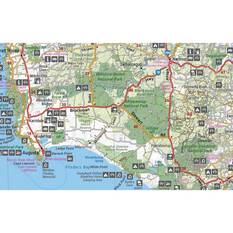
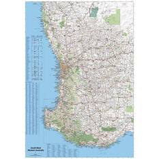
Explore Southwest Western Australia like never before with the Hema Map. This regional map unveils the wonders of the southwestern part of this vast state, featuring a spectacular coastline, surf-ready beaches, flowing rivers, towering forests, charming towns, and bustling cities. Flip the map, and dive into the detailed inset maps of Nambung National Park, Avon Valley National Park, Lane Poole Reservation, the Southwest Corner, Stirling Range National Park, D'Entrecastreaux National Park, and Albany Coast. The map doesn't just guide you; it immerses you in the beauty of the Coral Coast, Perth, Avon Valley, the Great Southern Region, Peel, Blackwood River Valley, the Southern Forests, the Margaret River region, and the Southern Coast.
Whether you seek the tranquility of forest communities or the vibrant coastal energy from Bunbury to Margaret River and Augusta, this map has you covered. Discover the Southern Forests' tree wonders, indulge in stunning coastlines within national parks, and explore fantastic four-wheel-driving opportunities. For an authentic taste of wilderness, protected by D'Entrecasteaux National Park, jump into your 4WD and venture through Lake Jasper via Black Point, a favorite route in the Southwest. The Great Southern area, stretching from Denmark to Albany and up to Mt Barker, offers challenging 4WD tracks, exceptional camping at Shelley Beach, remnants of karri forests, and the southernmost point at Torbay Head. With milder summer temperatures than Perth, the Southwest corner is a springtime paradise for wildflowers. Keep in mind the wet and windy winter months, especially along the southern coast, and be aware of total fire bans during the summer. Let the Hema Map be your gateway to an adventure-packed journey through the breathtaking landscapes and hidden gems of Southwest Western Australia!
Whether you seek the tranquility of forest communities or the vibrant coastal energy from Bunbury to Margaret River and Augusta, this map has you covered. Discover the Southern Forests' tree wonders, indulge in stunning coastlines within national parks, and explore fantastic four-wheel-driving opportunities. For an authentic taste of wilderness, protected by D'Entrecasteaux National Park, jump into your 4WD and venture through Lake Jasper via Black Point, a favorite route in the Southwest. The Great Southern area, stretching from Denmark to Albany and up to Mt Barker, offers challenging 4WD tracks, exceptional camping at Shelley Beach, remnants of karri forests, and the southernmost point at Torbay Head. With milder summer temperatures than Perth, the Southwest corner is a springtime paradise for wildflowers. Keep in mind the wet and windy winter months, especially along the southern coast, and be aware of total fire bans during the summer. Let the Hema Map be your gateway to an adventure-packed journey through the breathtaking landscapes and hidden gems of Southwest Western Australia!
Features
- Camping and areas
- All major road networks
- Points of interest with contact information
- Fuel stops and information centres
- Southwest Corner inset map
- Publication Date: 17/11/20
- Scale: 1:750,000
- Folded dimensions: W 140 x H 250 x D 3mm
- Unfolded dimensions: W 700 x H 1000mm
- Weight: 0.07kgs